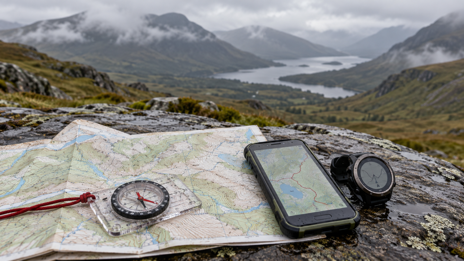
I normally create a route in Strava and transfer it to my watch before heading into the mountains. It gives me a planned line to follow and a convenient way to check my progress without repeatedly taking out my phone. But my outing on Beinn Ghlas brought an important question into focus: what happens when the route I have prepared is no longer the route I should take?
Our plan was to climb Beinn Ghlas and continue to Ben Lawers. Rain stayed with us throughout the day, and the strong wind led us to abandon the second summit. On the descent, we changed our route to seek shelter, moving west into the valley and using a map to identify our way down. The ascent had followed a clear, established trail. The alternative descent crossed grassy ground that was slippery in places. Once the plan changed, understanding the surrounding terrain mattered just as much as knowing where we were.
A planned route is only part of the picture
Following a saved route is useful, but a route line alone cannot answer every question that arises on a mountain. If I leave that line, where does the slope lead? Is there a path below me? Does the ground become steeper farther down? Will the valley bring me back towards my starting point, or take me somewhere else entirely?
A detailed topographic map provides information about the wider landscape. Contours help explain the shape and steepness of the ground, while mapped paths, watercourses and other features help with planning and orientation. Mountaineering Scotland identifies interpreting contours and relating them to the ground as a core navigation skill.
That information still needs judgment. A map cannot show every slippery patch or describe the exact conditions underfoot that day. Nor does a line drawn on a screen prove that the ground is suitable to cross. It is a tool for understanding the terrain, alongside what I can see and assess around me.
Why I want OS Maps on my phone
For my walks in Scotland, I want detailed OS mapping available on my phone alongside the route on my watch. The larger screen lets me examine the area around the planned route, rather than concentrating only on the next section of the line.
OS Maps supports downloading maps and routes for offline use. Before leaving, I need to download the surrounding area as well as the intended route and check that it opens without a mobile connection. A change of plan may take me beyond the narrow corridor I originally expected to follow.
My watch remains a useful part of that setup. The lesson from Beinn Ghlas is to prepare enough information to make a different decision when the weather demands it.
A paper map for when electronics stop working
A phone and watch both depend on working batteries and functioning devices. Having two electronic devices is helpful, but I also want a backup that does not need charging: a paper map covering the outing and its possible alternatives, carried with a compass and protected from the rain.
Ordnance Survey recommends carrying a paper map and compass even when using digital navigation. Its guidance with Mountain Rescue also stresses the importance of navigation skills alongside the equipment.
Simply putting a map in my bag is not enough. I need to practise reading it, identifying my position, understanding contours and using a compass. Those skills deserve attention before I need them in wind, rain or poor visibility.
Changing the plan needs preparation too
Before an outing, I want to study more than the summit route. I need to consider where I could turn back, which established alternatives are available, and what hazards might lie between me and lower ground. Mountaineering Scotland’s route-planning guidance specifically emphasises choosing a route that avoids major hazards.
Seeking shelter does not mean that any downhill slope is a suitable escape route. The direction may look promising while the ground farther down presents a very different problem. If I cannot confidently identify a suitable alternative, that uncertainty needs to influence the decision rather than become a reason to guess.
Beinn Ghlas gave me another lesson early in my journey through the Munros. Preparing a route is important, but so is preparing for the possibility that I will have to change it. My Strava route and watch help me follow the plan. Detailed mapping, a paper backup and the skills to use them help me assess what to do when the plan no longer fits the day.
282 Stories — One Journey, Countless Lessons